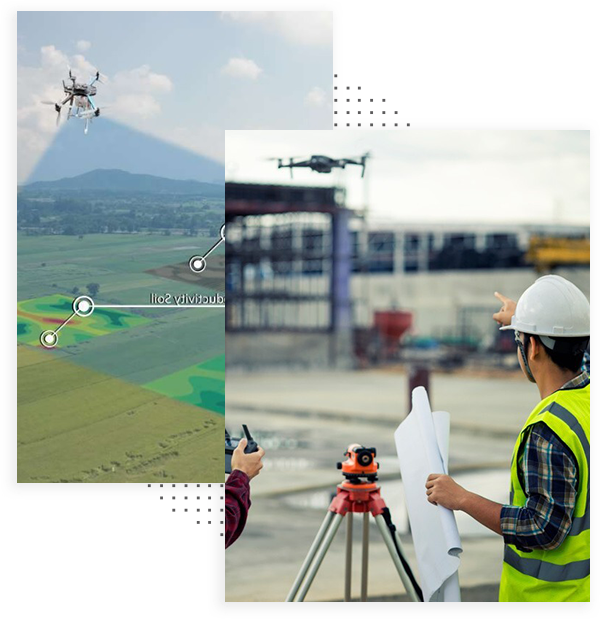
Survey and Mapping Services
Drone Mapping and Drone Surveying
Advanced Photogrammetry Services for Precise 3D Modeling and Data Analysis
Discover unparalleled precision in data capture and modeling with our state-of-the-art Photogrammetry Services. In a world where digital accuracy is crucial, our services stand out by transforming photographs into detailed 3D models, maps, and accurate measurements. Our expertise caters to a variety of needs, including topographical mapping, cultural heritage documentation, construction progress tracking, and aerial surveying. We turn ordinary images into extraordinary geospatial assets, offering a new perspective in data visualization and analysis.
Our Photogrammetry Services are applicable across multiple fields, such as land surveying, urban planning, environmental studies, and industrial inspections. By merging high-resolution imagery with sophisticated software algorithms, we create precise 3D models and maps that facilitate informed decision-making. Our services are invaluable for professionals in engineering, agriculture, forestry, archaeology, and more, offering streamlined operations, cost efficiency, and a comprehensive view of your projects.
Committed to precision and technological innovation, our team is dedicated to providing you with the insights necessary for achieving success in your various endeavors. Embrace the cutting-edge capabilities of photogrammetry and revolutionize your approach to data visualization, achieving unprecedented accuracy and detail.
Frequently Asked Questions
What kind of drones do you use?
We use a number of drones, such as the: Inspire 2, Mavic 3, Mavic 3T (Thermal), Mavic 3M (Multispectral), Mini 3 Pro, Custom built FPV drones; and we have access to many more through rental/partnerships.
Do you offer photo and video editing?
Yes! Flying the drone and capturing data is one part of most projects. We offer full photography and video editing services! Please ask us how we can help!
How far can you travel?
We are set up and able to travel anywhere in Canada. Fees apply.
Are you insured?
Yes, and we carry a lot of it! $6.25 million to be exact. This allows us to fly in challenging areas, and with companies that require $1M+ liability insurance.
How quickly can you be onsite?
We’re a busy group, with a number of contract operators available. If your project is urgent, please let us know and we’ll see what we can do!
What forms of payment do you accept?
We accept all major credit cards, e-transfer, direct deposit, and cheque. If you would like to pay by credit, there will be a 3% fee and please let us know before we send an invoice.
Do you store all videos and photos, in case I lose a copy or need them for some reason?
We do! We generally keep the original video and photos for up to 2 years. Please reach out to team@ottawadrones.com if you would like a copy.

